Dakar
UTC+0Senegal · GMT
Di., 22. Sept. 2026
Zeitzonen-Guide
Dakar, Senegal läuft auf UTC+0. Diese Zeitzone bleibt das ganze Jahr über fest bei UTC+0 — es gibt keine Sommerzeit. Zwischen Dakar und New York besteht ein Zeitunterschied von 4 Stunden. Standard-Bürozeiten (9 bis 18 Uhr) überschneiden sich an etwa 5 Stunden täglich mit New York. Gute Zeit für Meetings: 13:00–18:00 in Dakar entspricht 09:00–14:00 in New York. Zwischen Dakar und London besteht ein Zeitunterschied von 1 Stunden. Standard-Bürozeiten (9 bis 18 Uhr) überschneiden sich an etwa 8 Stunden täglich mit London. Gute Zeit für Meetings: 09:00–17:00 in Dakar entspricht 10:00–18:00 in London. Zwischen Dakar und Tokio besteht ein Zeitunterschied von 9 Stunden. Standard-Arbeitszeiten überschneiden sich mit Tokio gar nicht; Meetings erfordern einen frühen oder späten Termin. Diese Zeitzone wird auch mit Städten wie Reykjavík, Accra, Kumasi geteilt. Die Beachtung dieser Zeitunterschiede erleichtert Telefonate und Reisen von und nach Dakar.
Praktische Infos
Dakar (Senegal) hat rund 3.9M Einwohner. Heute gibt es etwa 12.8 Stunden Tageslicht: Sonnenaufgang um 06:42, Sonnenuntergang um 19:30. Diese Zeitzone bleibt das ganze Jahr über fest bei UTC+0 — es gibt keine Sommerzeit. Sie liegt auf der Nordhalbkugel, etwa 15° nördlich des Äquators. Es herrscht Rechtsverkehr.
Flagge
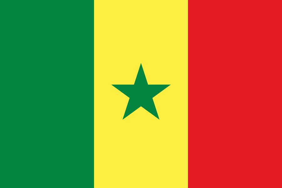
Senegal
Hauptstadt
Dakar 👑
Kontinent
Afrika
Zeitzone
GMT · Africa/Dakar
Koordinaten
14.72°N, 17.47°W
Währung
XOF (CFA)
Vorwahl
+221
Fahrseite
Rechts
Hemisphäre
Nördlich
Sprache
Französisch
Maßsystem
Metrisch
Wussten Sie schon?
Der westlichste Punkt Afrikas hält die Greenwich-Zeit ein
1. Pointe des Almadies ist der westlichste Punkt des afrikanischen Kontinents – und der gesamten afro-eurasischen Landmasse.
Es liegt bei 14°44′27″N, 17°31′48″W, an der nordwestlichen Spitze der Halbinsel Cap Vert, im Großraum Dakar. Die Markierung steht auf einem Sandstreifen hinter einem verlassenen Resort.
Zum Maßstab: Es liegt acht Grad weiter westlich als Cabo da Roca, der westlichste Punkt auf dem europäischen Festland. Gehen Sie von hier aus genau nach Westen und das erste Land, das Sie treffen, ist Brava in Cabo Verde, 770 Kilometer entfernt.
2. Und in Senegal gilt die Greenwich Mean Time.
UTC+0 – die gleiche Uhr wie Accra, 2.000 Kilometer östlich.
Aber Accra liegt auf dem Meridian. Dakar liegt 17,5 Grad westlich davon.
Damit liegt die Uhr von Dakar ungefähr 70 Minuten vor dem eigenen Sonnenmittag – einer der größten Unterschiede aller Städte auf diesem Gebiet, vergleichbar mit dem einundsiebzigsten in Izmir und vor dem fünfundsechzigsten in Singapur.
Zwei westafrikanische Hauptstädte, dieselbe Zeitzone, derselbe Offset von UTC. In einem von ihnen stimmen Uhr und Sonne innerhalb von Minuten überein. Im anderen Fall sind sie mehr als eine Stunde voneinander entfernt.
3. Die Stadt existiert wegen der Erdnuss.
Dakar wurde 1857 gegründet, als die Franzosen auf dem heutigen Place de l'Indépendance eine Festung errichteten. Was es zur Hauptstadt machte, war die Eröffnung der ersten Eisenbahn Westafrikas im Jahr 1886, die von Saint-Louis nach Dakar führte. Die Linie förderte entlang ihrer Länge den Erdnussanbau und verwandelte den Hafen in ein Exportzentrum. Bis 1902 hatte Dakar Saint-Louis als Hauptstadt Französisch-Westafrikas abgelöst.
Neben der Fischerei und dem Tiefseehafen – einem der größten an der westafrikanischen Küste – ist die Erdnussölraffinierung nach wie vor einer der wichtigsten Wirtschaftszweige der Stadt.
4. Die Fischereiflotte arbeitet immer noch mit Tageslicht und nicht mit der Uhr.
Die Pirogen – lange, bunt bemalte Holzboote – fahren aus und kommen mit dem Licht zurück und werden im Morgengrauen auf Märkten wie Soumbédioune und dem neben der Moschee der Göttlichkeit entladen.
Das ist die einzig sinnvolle Lösung, die es gibt. In einer Stadt, die ihrer eigenen Sonne siebzig Minuten voraus ist, halten die Boote die genauere Zeit.
Quellen
- Wikipedia, *Pointe des Almadies* (14°44′27″K 17°31′48″B; Afrika und die Afro-Afrika-Inseln, die auf der Insel gefunden wurden; Greenwich, 17,5 Meilen von der Küste entfernt; Cabo da Roca'dan 17,5 Meilen von der Küste entfernt)
- Britannica, *Dakar* (1857 in Frankreich geboren; 1886 in Afrika geboren und als erstes Mal in Frankreich geboren; 1902 in Saint-Louis geboren; als erstes Rafinaj, balıkçılık ve kamyon montajı)
- Mind of a Hitchhiker (Almadies' zehn 770 km lange Wanderung in Cabo Verde'deki Brava; weitere Schritte)
- Atlas Obscura (erstellt und gelesen)
- Explorinder (Soumbédioune ve İlahiyat Camii yanındaki balık pazarları; pirogue'ların şafakta boşaltması)
- Encyclopedia.com (auf Englisch)
- Sommerzeit: Dakar 17,45°B, UTC+0 Mittag 0° → ~70 Tage
Jährliches Tageslicht
Arbeitszeiten
6 Std. Überschneidung